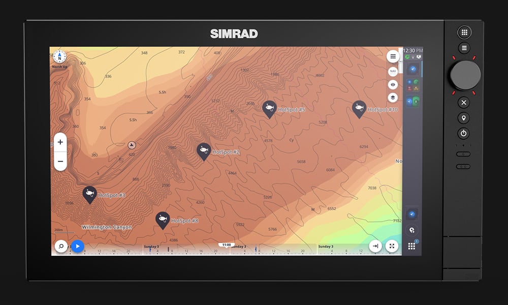
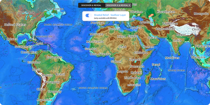
Unlock the Depths with Shaded Relief
Exclusive to C-MAP REVEAL® & REVEAL® X charts
Exclusive to C-MAP REVEAL® & REVEAL® X charts

Buy the latest charts

Understand your different chart options

Learn how to update your charts

Exclusive to DISCOVER® X and REVEAL® X

Our charts are loaded with precision data from multiple sources, frequently updated and quality checked by C-MAP experts.

Count on detailed coverage in multiple formats for lakes, coasts and oceans to help you navigate wherever you are in the world.

Expertise - Powered by 35 years of experience, we focus on delivering the most accurate and up to date charts.

Explore the latest C-MAP charts tailored to your area with our interactive Chart Explorer. Compare chart layers to see how each map style looks in your local waters.
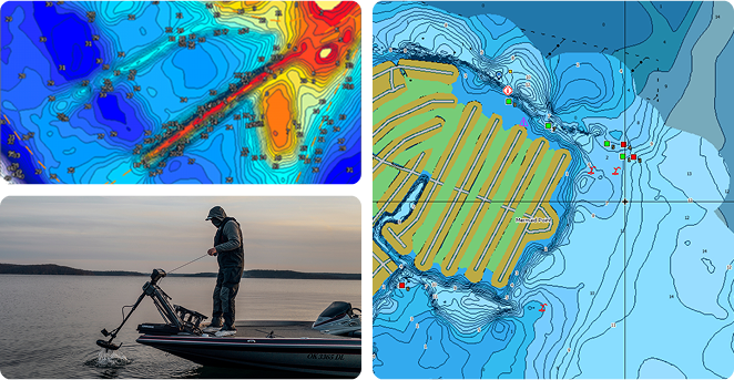
Social & self mapping Genesis - Curated community-sourced maps and the ability to create and store your own maps with 1-foot contours.


Social & self mapping Genesis - Curated community-sourced maps and the ability to create and store your own maps with 1-foot contours.