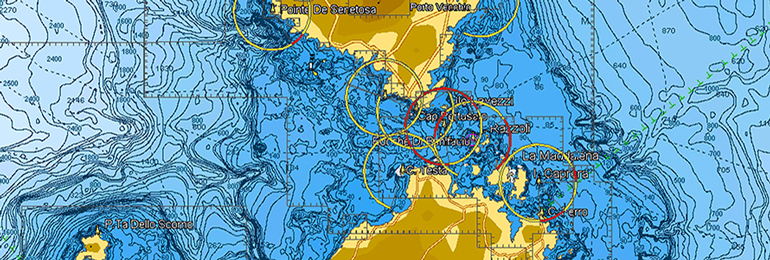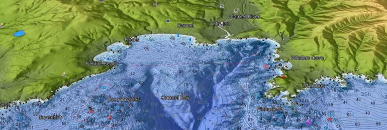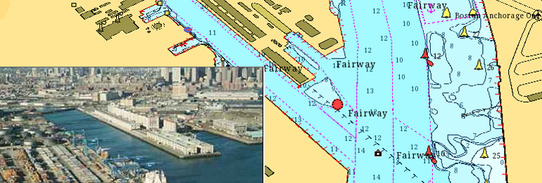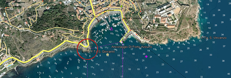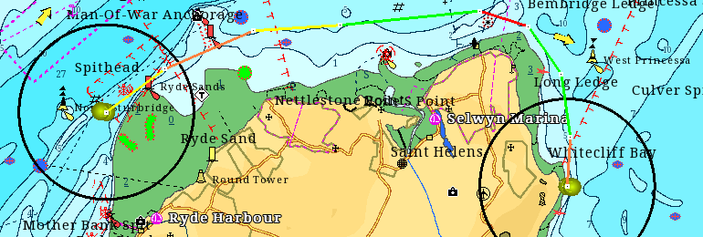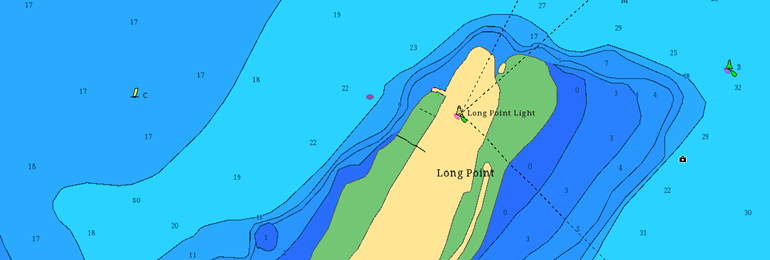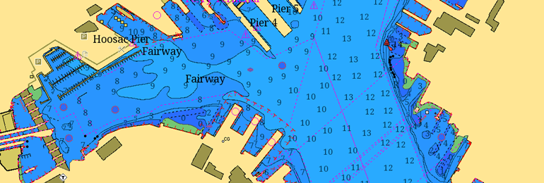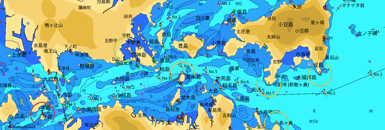
Full Featured Vector charts make navigation easy by giving you accurate, up-to-date vector chart detail derived from official hydrographic office information. Tides & currents show projections of water level and direction of tides to help plan your day out angling or sailing.