News Archive
Recent news and features
Cartography updates
Mid-Year Updates to APAC Charts
As winter approaches Australia and New Zealand, we're rolling out a new update for C-MAP Charts.
Removal of Raster Layer from C-MAP Reveal and 4D
Effective immediately, C-MAP will no longer offer Raster Charts as part of our offering for Reveal and 4D Charts.

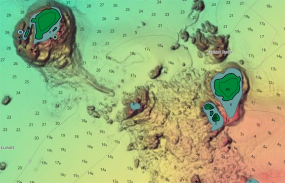
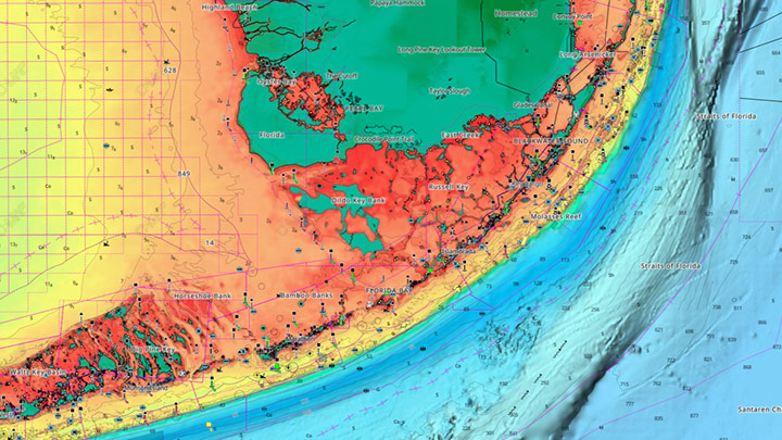
C-MAP® Updates Cartography for Australia & New Zealand
The new data includes improved High-Resolution Bathymetry and Shaded Relief for customers across Western Australia, Queensland and Victoria.
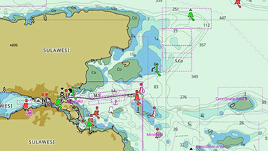
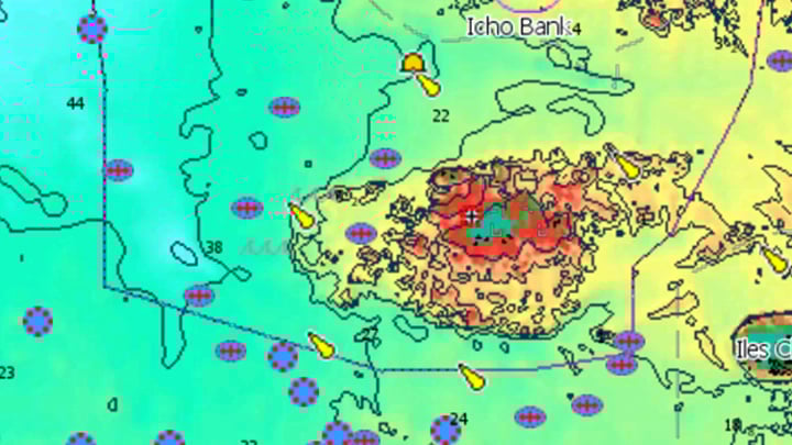
C-MAP® Updates Cartography for the Asia Pacific Region
Major update to Asia Pacific charts - includes improved High-Resolution Bathymetry and Shaded Relief for customers who use Reveal or Reveal X charts, specifically in the waters off New Plymouth, New Zealand.
Features

C-MAP & Lowrance help Connell win 3rd REDCREST trophy
Expertise reading current, map contours and 2D sonar helped Lowrance Pro Dustin Connell win his third Major League Fishing REDCREST championship tournament.
Update for C-MAP® App Including New Features
New features open community sharing and anchor alert for all users, with satellite and weather overlays for Premium users.
C-Map App Now Available Worldwide with Crowd-Sourced Genesis Layer
C-MAP® has made its Genesis crowd-sourced mapping data available on the C-MAP navigation app, as well as Lowrance®, B&G® and Simrad® apps powered by C-MAP charts.
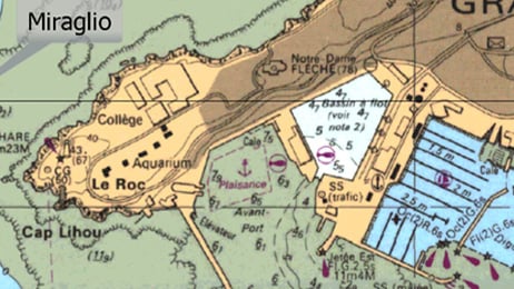
Download a Complete Guide to C-MAP® Chart Symbols (PDF)
Learn what all the icons, symbols and objects mean on C-MAP charts. From anchorage areas to submerged wrecks, it's all on the map.
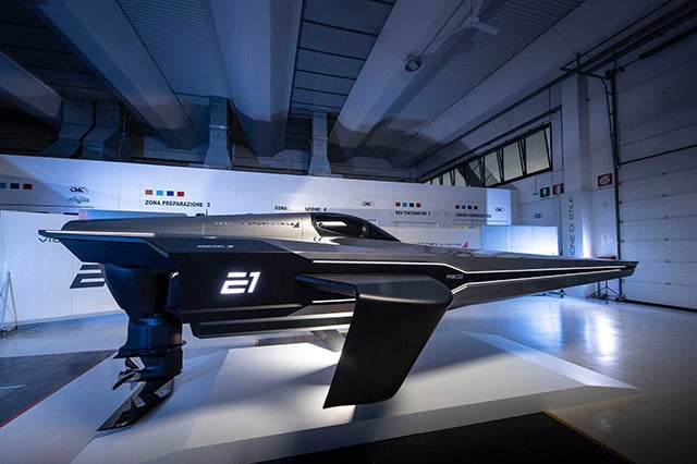
E1 Series Powerboat & C-MAP Partnership
C-MAP® has partnered with the E1 Series to become the Official Cartography Partner of the world’s first electric powerboat championship.

Navigational Newbies
C-MAP® offers an excellent way for novice boaters to safely discover their new favourite waterways.


