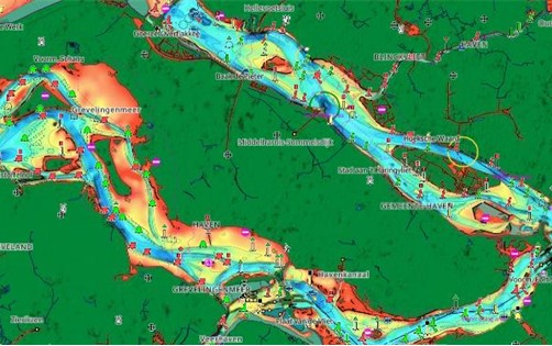
Viareggio, Italy – C-MAP®, a leader in digital marine cartography and cloud-based mapping, today announced a major update to its inland cartography offering for the Netherlands, introducing detailed data for thousands of new water ways, improved satellite imagery, enhanced shaded relief and more.
“We are thrilled to roll out this new update to our C-MAP users in the Netherlands, significantly transforming their navigation experience within inland waterways,” said Jakob Svensson, C-MAP Product Manager. “Our product team is dedicated to sourcing new data and enhancing our global charts. We’ve listened to customer feedback and are delighted to introduce a whole new charting experience for Netherlands inland waters.”
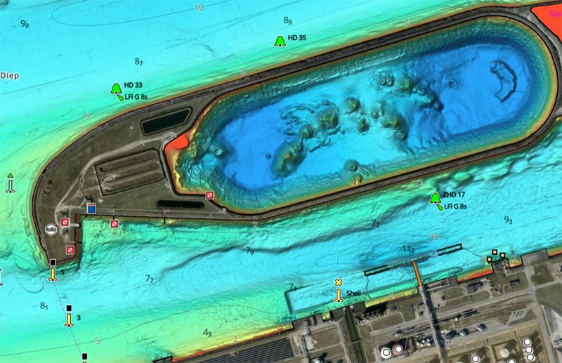
C-MAP users will see new, highly detailed chart data, new shaded relief coloration to better suit the shallower inland waterways and improved presentation of built-up areas and marinas.
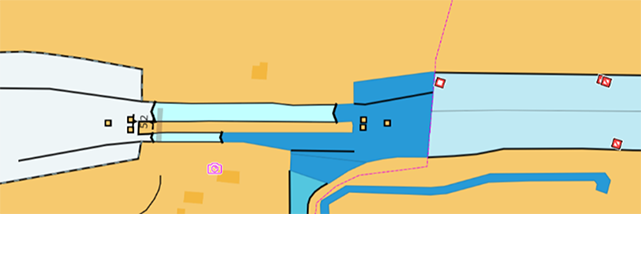
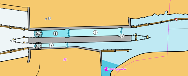
Chart data includes detailed plans of docks, marinas and, sluices with supporting information including detailed measurements and VHF channels, accessible at a touch of the INFORMATION icon, and satellite imagery improvements for REVEAL X, down to as little as 30cm detail.
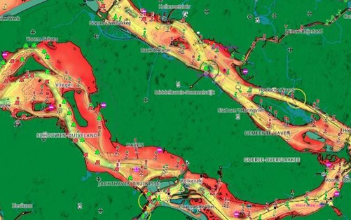
The new data includes information for 19,000 bridges with enhanced geometry and positioning, details such as telephone numbers and VHF channels for nearly 2,500 bridges to ensure improved accessibility and communication, and the addition of vertical and horizontal clearances to more than 6,840 bridges for safe navigation.

