Viareggio, Italy (November 2024) – C-MAP, a leader in digital marine cartography and cloud-based mapping, today announced an update to its Australian and New Zealand Charts. The new data includes improved High-Resolution Bathymetry and Shaded Relief for customers across Western Australia, Queensland and Victoria. In addition, we have added the Great Sandy Marine Park to our Marine Protected Areas, which aide in boater education on the rules in these areas.
“We are excited to roll out this new update to our C-MAP users in Australia and New Zealand,” said Jakob Svensson, C-MAP Product Manager. “Our cartography team is dedicated to sourcing new data and continually enhancing and improving our charts over time.”
Also included are standard updates on Bathymetry, Coastline, NavAids, etc as published by local Hydrographic Offices and official sources and apply to all charts including DISCOVER ™, REVEAL ™ and X Gen charts within the ANZ portfolio.
These updates are available now and are free for anyone who has purchased a C-MAP chart within 12 months and registered their card, or who have a current C-MAP subscription. The new charts are also available to purchase now, and you can view the latest DISCOVER, REVEAL, and X charts data online at c-map.com/chartexplorer.
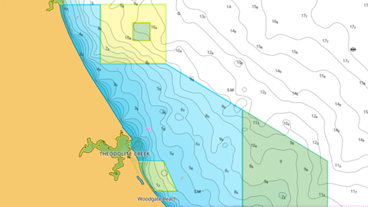
Marine Protected Areas
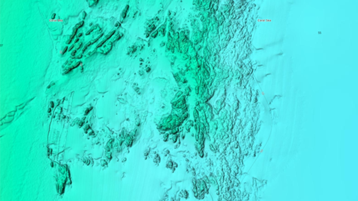
Coral Sea
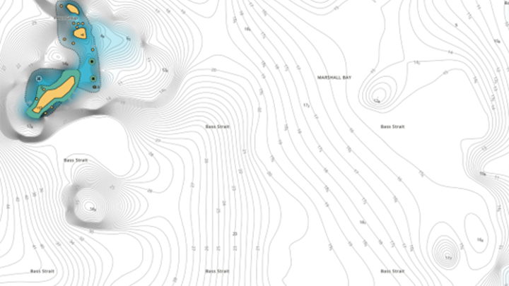
Flinders Island – Before
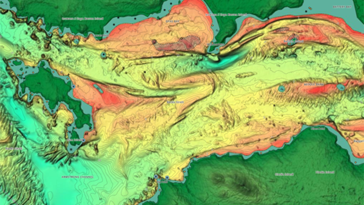
Cape Barren Island – After
About C-MAP®
C-MAP is part of Navico Group, a division of Brunswick Corporation’s (NYSE: BC), and is a leader in digital marine cartography and cloud-based mapping, offering one of the world’s largest marine navigation digital chart databases. C-MAP’s portfolio includes the DISCOVER™, REVEAL™, and 4D™ chart ranges, which integrate with fishfinders and chartplotters from the leading marine electronics brands, and via the C-MAP App available on the App Store and Google Play.
About Navico Group
A division of Brunswick Corporation (NYSE: BC), Navico Group is the world’s leading supplier of integrated systems and products to industries ranging from marine to recreational vehicle and beyond. The Navico Group portfolio is comprised of industry-leading brands in power management, digital control & monitoring, networked devices, and marine electronics. Some of the many brands that make up Navico Group include: Ancor, Attwood, B&G, BEP, Blue Sea Systems, C-Map, CZone, Lenco, Lowrance, Marinco, Mastervolt, MotorGuide, Progressive Industries, ProMariner, RELiON, Simrad, and Whale.
