News & Videos
All the latest news and videos from C-MAP
News
Removal of Raster Layer from C-MAP Reveal and 4D
Effective immediately, C-MAP will no longer offer Raster Charts as part of our offering for Reveal and 4D Charts.

C-MAP & Lowrance help Connell win 3rd REDCREST trophy
Expertise reading current, map contours and 2D sonar helped Lowrance Pro Dustin Connell win his third Major League Fishing REDCREST championship tournament.
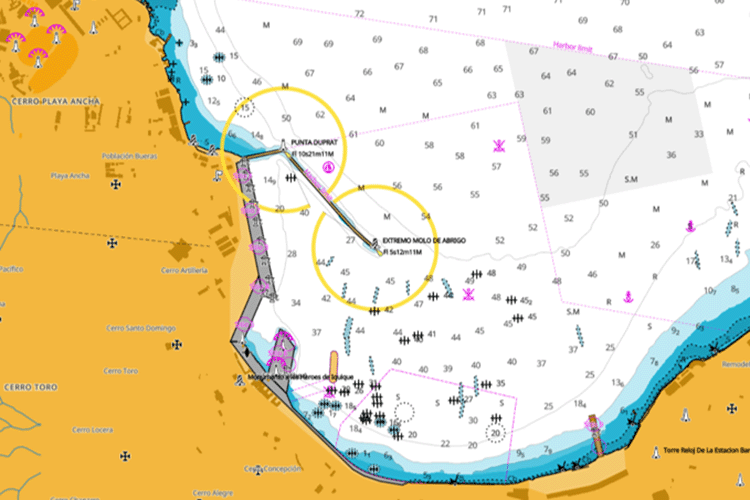
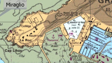
C-MAP Unveils New Charts for Chile
Major update to South American charts with the introduction of Vector Charts for Chilean waters.

C-MAP® Unveils Major Chart Enhancements for North America
This comprehensive update features enhanced satellite imagery along the East Coast, including Chesapeake Bay and the Carolinas.
Videos
Introducing the C-MAP App
With the C-MAP® App, always have the latest and most detailed chart data to hand, on your phone, tablet or PC – find out more!
Using the 'Shaded Relief' function with Lee Rayner
Join Lee Rayner, and see how you can bring the world to life around you – only with C-MAP® REVEAL™ charts, exclusively for Lowrance® Simrad® and B&G® Chartplotters
C-MAP App: How to use Autorouting
Your perfect planning partner – learn how to create, edit and save a route wherever you are, using your C-MAP® App
CMAP REVEAL | Utilising maps for strategic fishing
Nige Webster is using C-MAP REVEAL to identify reefs and pressure points whilst out on a trolling mission for Spanish mackerel.


