Viareggio, Italy (February 2025) – C-MAP®, a leader in digital marine cartography and cloud-based mapping, today announced its first major update to North America charts for 2025.
This comprehensive update features enhanced satellite imagery along the East Coast, including Chesapeake Bay and the Carolinas. Additionally, Florida, the Gulf Coast, and the Great Lakes have seen significant improvements in Coastal High-Resolution Bathymetry and Shaded Relief. Furthermore, 264 inland lakes have been upgraded, with 206 of these located in Florida alone.
"We're excited to announce a new update for our C-MAP users in North America, helping them prepare for the upcoming season," said Jakob Svensson, C-MAP Product Manager. "Our dedicated product team is focused on sourcing the most up to date data and consistently enhancing our charts."
The new data improves the DISCOVER®, REVEAL® and X Generation charts from C-MAP and is available to new users or any existing user who purchased a chart in the past year and subscribed to C-MAP. Users can view the latest charts for their location online at c-map.com/chartexplorer.
Updates for North America charts include:
- Standard updates include the latest NOAA ENC navigation data.
- Improved Satellite Imagery for the coastal areas in Seattle, Texas, Louisiana and the East Coast.
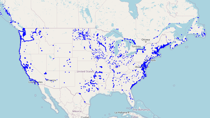
Reveal Satellite Improvements
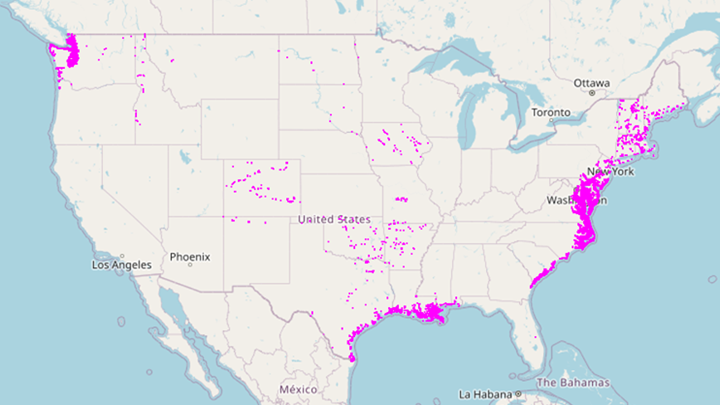
Reveal X Satellite Improvements

Satellite Chesapeake Bay Image
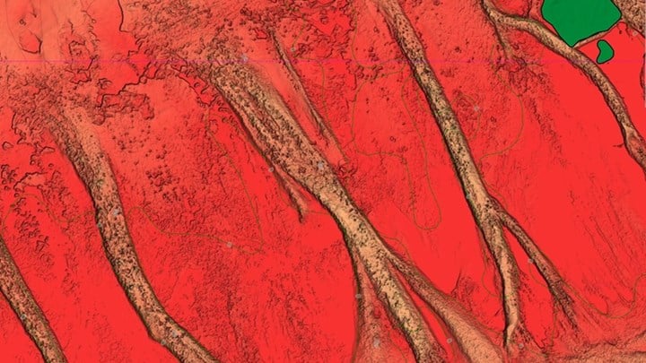
- Improved Shaded Relief & High-Resolution Bathymetry across Florida Keys, Gulf Coast and Chesapeake Bay.

- Improved Shaded Relief & High-Resolution Bathymetry for the Great Lakes including Lake Ontario, Lake Erie, Lake Huron and Lake Michigan.

Great Lakes

Lake Michigan
- Improved Shaded Relief & High-Resolution Bathymetry for 264 waterbodies across 16 states, including 206 in Florida alone. Key areas include Tampa Bay, Florida; Detroit River & St. Clair River in Michigan; Fox River North, Wisconsin; and Geist Reservoir, Indiana.
Inland Lakes

Bois dArc Reservior
Shaded Relief and Satellite imagery are exclusive to C-MAP Reveal and Reveal X and are available on a range of chartplotters from the Lowrance®, Simrad® & B&G® brands.


