New Inland Waterways Included in the Latest C-MAP® Update Across Europe
C-MAP, a leader in digital marine cartography and cloud-based mapping, today announced its second major European chart update of 2025, delivering significant enhancements for recreational boaters and anglers across the continent.
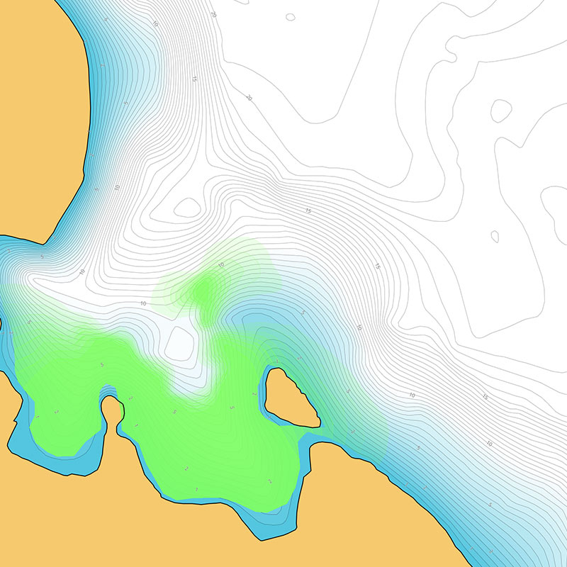
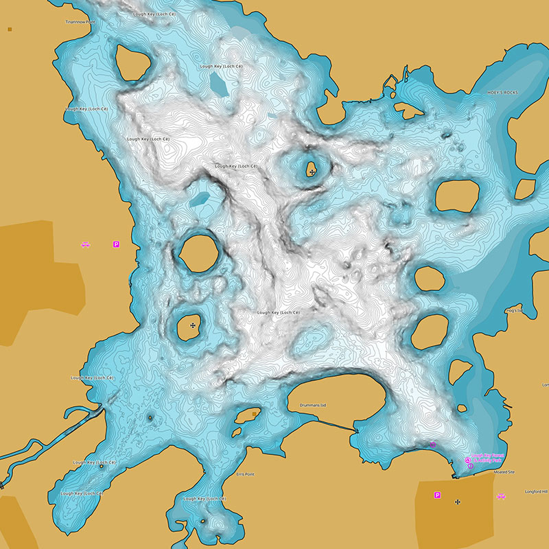
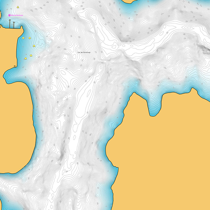
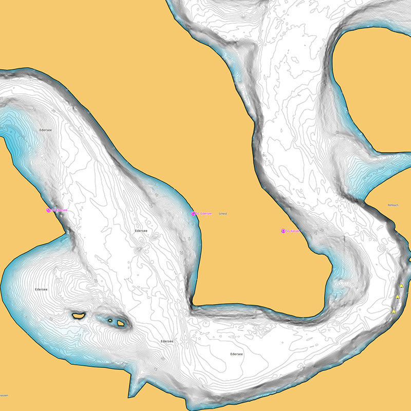
This latest update provides updated navigational data sourced from official hydrographic offices across all our charts. Furthermore C-MAP has focused on inland waterways across Germany, France, Sweden, Ireland and Spain for Discover®, Reveal®, and X Generation charts; available exclusively on Lowrance®, Simrad®, and B&G® chartplotters. These updates have enhanced High-Resolution Bathymetry, Shaded Relief, and, for the first time, vegetation and bottom hardness layers exclusive to Reveal X Charts.


